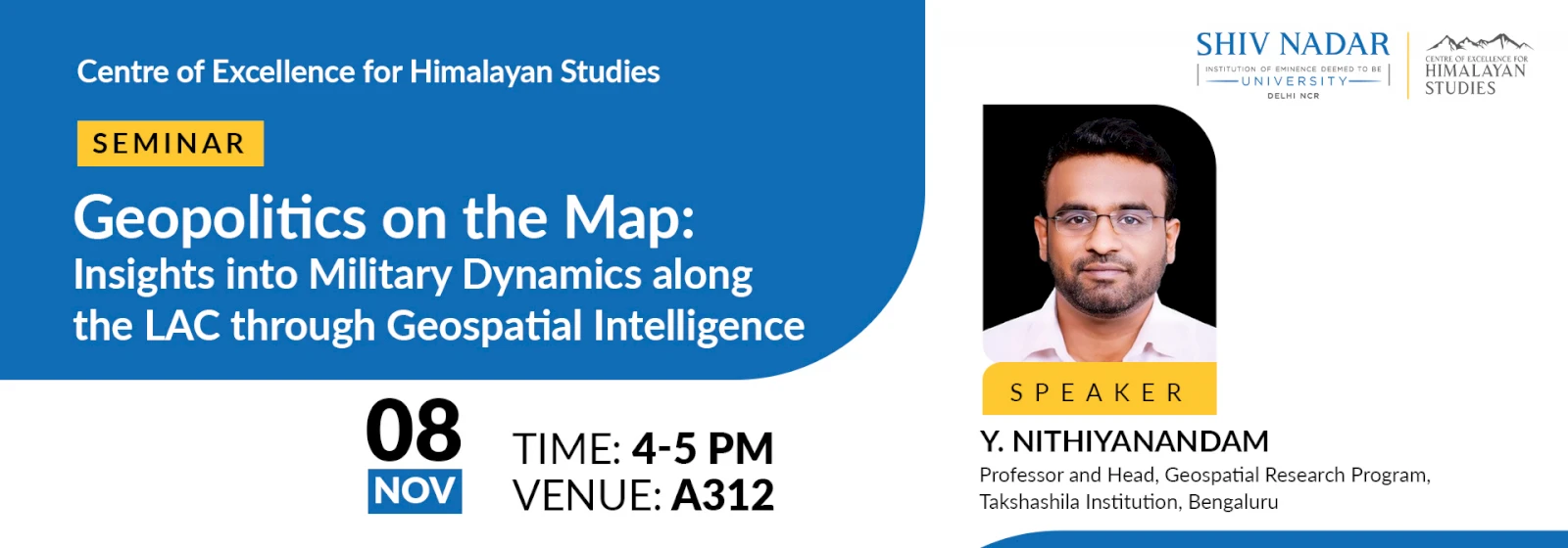
Geopolitics on the Map: Insights into Military Dynamics along the LAC through Geospatial Intelligence
On Friday, 8 November 2024, Dr Nithiyanandam PhD , head of the Geospatial Research Program at The Takshashila Institution, will deliver a talk on the application of geospatial technology in understanding developments along the Line of Actual Control (LAC) between India and China. This session will explore how geospatial tools are used to analyze military activities, infrastructure changes, and strategic deployments along the LAC. He will outline how these tools provide detailed insights into the realities on the ground, contributing to national security assessments and informing policy decisions

Share this: