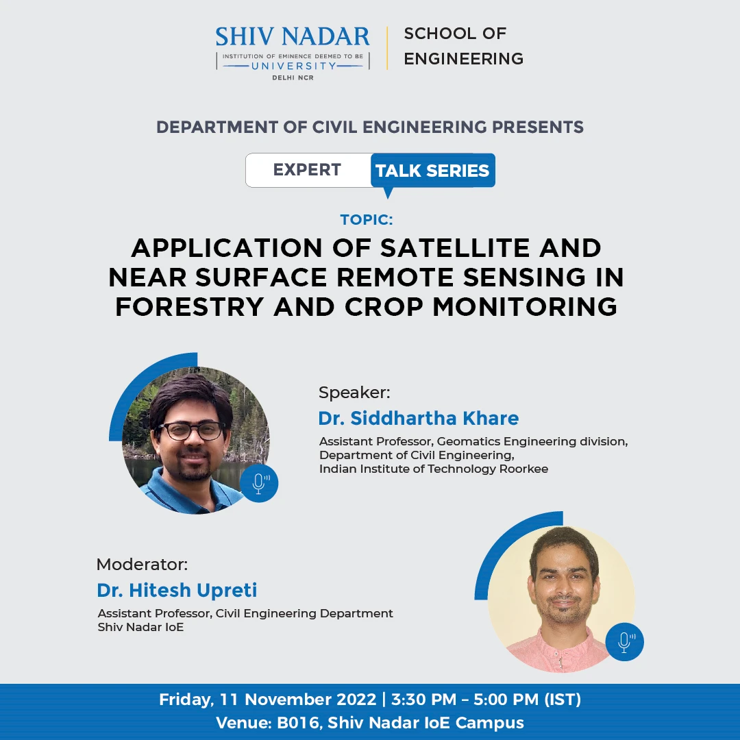
Application of Satellite and Near Surface Remote Sensing in Forestry and Crop Monitoring
Department of Civil Engineering invites you to an expert talk seminar titled “Application of Satellite and near surface remote sensing in forestry and crop monitoring” on November 11, 2022 (Friday), 3:30 PM – 5:00 PM. The expert talk will be delivered by Dr. Siddhartha Khare, Assistant Professor, Geomatics Engineering division, Civil Engineering Department, IIT Roorkee. The talk will be moderated by Dr. Hitesh Upreti, Assistant Professor, Department of Civil Engineering.
Abstract of the talk
This talk will cover a comprehensive overview of how satellite and near surface remote sensing data can be used to support agriculture and forestry. The initial section of talk will cover basics of satellite remote sensing. Remaining two sections will explore how satellite and PhenoCam imageries can be used to monitor forests and crops, looking at opportunities to track changes in parameters such as tree phenology from space, and reviewing how satellite, unmanned aerial vehicle (UAV) and PhenoCam data can be used for crop phenology and crop disease monitoring. The talk will include examples of various case studies and research work done by Dr. Khare in the context of spatio-temporal dynamics of tree phenology of boreal and Himalayan regions and precision farming.
About the speaker
Dr. Siddhartha Khare is currently working as an Assistant Professor in the Geomatics Engineering division of the Civil Engineering department of IIT Roorkee. He did his M.Tech and Ph.D. from IIT Roorkee in 2012 and 2017 respectively. After his higher education, he worked for one and a half years as an Assistant Professor in the ESRI-sponsored GIS Department of NIIT University in India. Thereafter, he moved to Canada for his post-doctoral research work. Dr. Khare has worked from 2018 to 2020 as a Postdoctoral fellow under University of Quebec. After that he joined another Postdoctoral position at McGill University until February 2022. In this duration, he worked as a visiting Postdoc fellow at University of Naples, Italy. During his tenure at McGill University, he also worked as an Environmental Scientist at Habitat nature-based solution company in Montreal. He is currently providing his expertise as an Academic Associate to this company. He is working with them in collaboration to develop an AI and satellite-based platform for urban trees biodiversity monitoring in Montreal, Quebec and Laval cities.
He also served as a member of Quebec Forest Study Center and Quebec Centre for Biodiversity Science and carried out hands on training related to satellite data analysis using R programming in various Quebec universities. Dr. Khare has very rich experience in handling time-series data with Satellite, UAV and PhenoCams sensors. Dr. Khare is currently teaching UAV based data collection techniques and processing complex UAV images data in PiX4D software to undergraduate students of the Civil Engineering department of IIT Roorkee. Dr. Khare will be visiting Okhalama State University USA as a visiting Professor in January 2023 to deliver a talk to undergraduate students and to discuss his research collaborations with the Department of Geography

Share this: