Disaster Management Laboratory
Our research group at the Disaster Management Laboratory strives to develop innovative approaches and utilize advanced computational technologies to revolutionize societal resilience to natural hazards.
Our research focuses on various fundamental and applied aspects of natural hazards and disaster risk reduction with the primary focus on GIS-based Spatio-temporal multi-hazard risk assessment and mapping, sustainable infrastructure development, and their roles in decision-making.
Seismic Risk Assessment
The collision of the Indian Plate with the Eurasian plate resulted in the formation of significant seismotectonic features like the Himalayan thrust, Arakan-Yoma, Naga hills, and Tripura folds. Due to its geological, geomorphological, and seismotectonic setting, India’s north-eastern region (NER) is exposed to seismic hazards and has the potential for seismic risk. The region has suffered extensive loss of lives and damage to property due to the occurrence of significant earthquakes in the past. Recently, on the 28th of April 2021, an earthquake of Mw 6.0 occurred near Dhekiajuli in Assam, NER, India, leading to ground-cracking and the collapse of several houses.
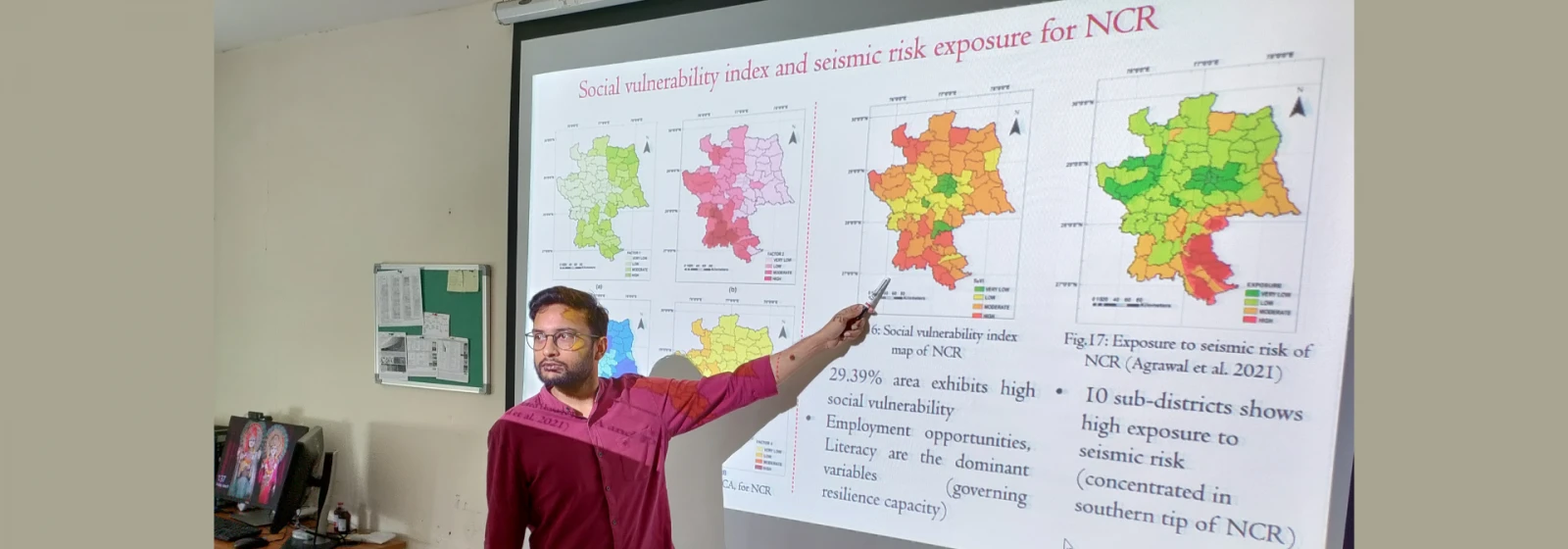
Quantifying seismic risk by assessment of hazard and vulnerability at a regional level is a significant step toward effective disaster risk reduction and mitigation strategies. Seismic hazard deals with the quantification of ground motion at a particular site in a specific time interval which can be expressed in terms of peak ground acceleration (PGA); while vulnerability can be a social or physical vulnerability, and it is mainly defined as the social, economic, natural, and built environmental condition of a community that increases its susceptibility toward hazards. Therefore, a seismic risk study considering social vulnerability will enable the policymakers, urban planners, and other concerned authorities to pre-identify the localities with high potential for seismic hazard as well as to understand its impact on the lives of people in the vicinity in case of disaster.
Flood Risk Assessment
For India, which is more vulnerable to floods, a comprehensive flood risk map can act as a critical tool for executing an effective flood management system at the regional or local scale. Flood risk is prominent in the Assam (NER) of India, due to the highly braided Brahmaputra river and the influence of the southwest tropical monsoon. The region suffers enormous losses and damage in terms of property and lives. The objective of the present study is to develop an efficient and reliable methodology to prepare a flood risk map for Assam, by the integration of hazard and vulnerability components. Three indices, namely flood hazard index (FHI), flood vulnerability index (FVI), and flood risk index (FRI), are developed using the Multi-Criteria Decision Analysis technique (MCDA) – Analytical Hierarchy Process (AHP) in the GIS environment for the regional and administrative levels of Assam. The selected hazard and vulnerability indicators define the topographical, geological, meteorological, drainage characteristics, land use, land cover, and demographical features of Assam. The results show that more than 70% of the total area lies in the moderate to very high FHI class, 57% have moderate to high FVI, and more than 50% have moderate to very high FRI class. The outcome of the present study will provide a comprehensive tool for flood risk management by the local governing authorities and stakeholders.
Location
C-310
